The Class of 2005
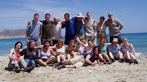
The Class of 2005 mapping fund was set up by the graduating year group of 2005 to award contributions to the part II undergraduate mapping projects. Each year, the 2005 graduates decide which mapping groups to support based upon the students' completed applications forms.
"We, as a group, really appreciated the geology field trips and the friendliness of the department. We, therefore, felt it was appropriate to set up this alumni fund. Although it is only modest, we hope that it will grow through time and each leaving year group will consider setting up a similar fund."

The Class of 2005: (back:) John Elliott, Jamie Knibbs, Niall Sayers, Jon Farrant, Dan Hobley, Jake Hall, Tom Russon, Andy Wilson; (front:) Helena Warrington, Bernadette Symons, Virginia Hooper, Caroline Sindrey, Sam Large, Sarah Lyle, Jo Ellis, Katie Whitters, Natalie Parker, Laura Teskey, Kirsty Harrison; (not in photo:) Anna Bebington, Ruth McKnight, Corin Hughes, Fran Barrigan.
2019 Recipients
Natalie Forrest, William Gill, Charlotte Morris, Jamie Ranson-Hayes, Charlotte Spruzen, and Sophia Thorn
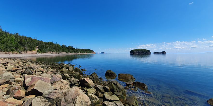
Parrsboro, Canada
"Over summer, six of us travelled to the small coastal town of Parrsboro, Nova Scotia, to do our mapping project. We chose Parrsboro because it is famous for its fossils, many of which are relatively rare vertebrates, but we did manage to see some preserved trackways (see photo!) as well. The area also includes a section of the Cobequid fault, which separates Neoproterozoic rocks from more recent Carboniferous and Triassic rocks."
Read more of the group's report on their field experiences:

Hamilton Allport, Yvan Bollet-Quivogne, Natasha Franklin, and Ursula Shaw
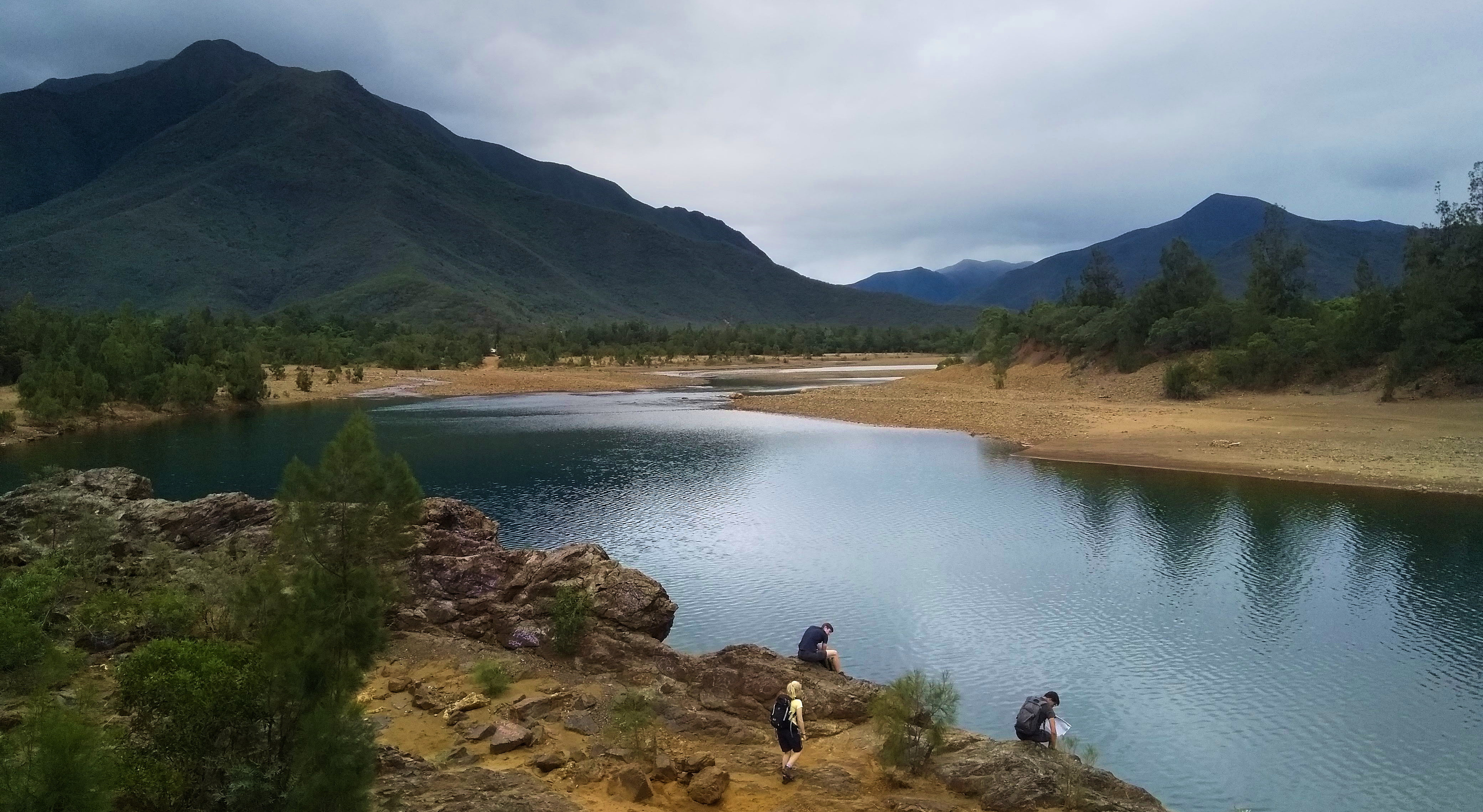
New Caledonia
"Our mapping group chose to go to New Caledonia as it was both an area that no previous group had worked on, and a place with very unique geology. We spent 31 days in the mapping area, two of those days being dedicated to asking for land-use permission and 29 spent on mapping."
Read more of the group's report on their field experiences:

