Submitted by Dr C.M. Martin-Jones on Thu, 15/12/2022 - 15:30
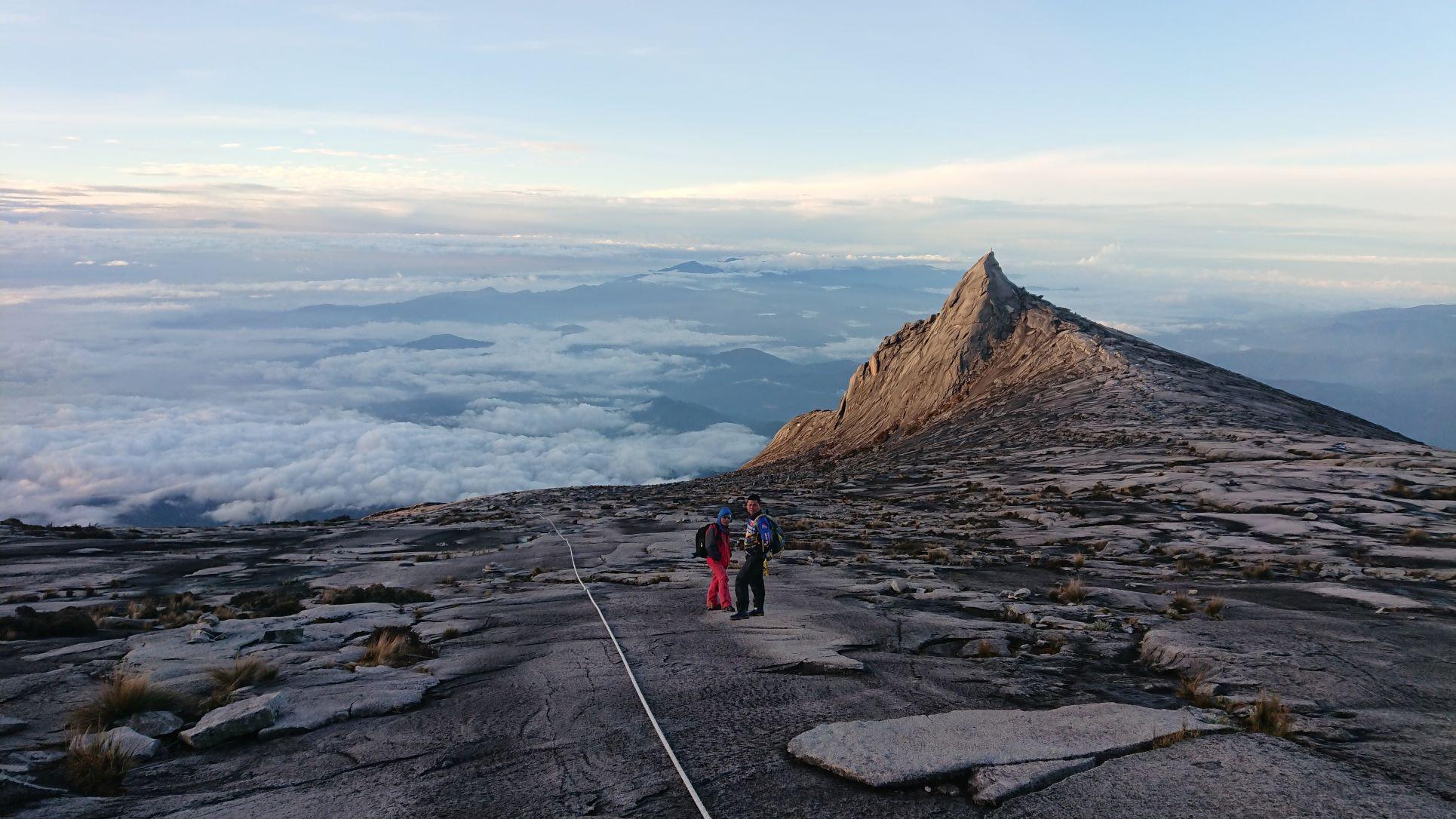
Northern Borneo is dotted with puzzling landforms that can’t be explained by typical plate tectonic processes. One example is Mount Kinabalu —in the Malaysian state of Sabah in northern Borneo — an anomalous granite mountain which towers at twice the height of all other peaks in the country.
“We wanted to know how strange surface features like Mount Kinabalu got there,” said Cambridge Earth Science’s Nick Rawlinson. Back in 2018, Rawlinson and researchers from Cambridge, the University of Aberdeen, Universiti Malaysia Sabah, and the Malaysian Meteorology Department deployed a network of seismic stations across the region.
After nearly two years of data collection, the researchers have created a seismic profile — effectively a slice through the Earth showing the structure of the crust and mantle beneath northern Borneo. The results, which Rawlinson will be presenting at this year’s AGU Annual Fall Meeting, show how northern Borneo’s landforms are related to processes happening deep in the convecting mantle.
Northern Borneo is located in what is known as a post-subduction setting. It once stood above an active subduction zone —where one tectonic plate plunges beneath another — but that process stopped roughly 8-9 million years ago. Scientists don’t know why it came to a halt, but they think that after it ended the crust likely re-bounded, causing the unusual landforms to rapidly emerge.
The team’s seismic data confirms what had previously been suggested based on models, “It appears that these landforms are directly related to this subduction stopping, and the crust equilibrating in response, ” said Rawlinson. The sudden halt to subduction caused the land to be rapidly uplifted — elevating Mount Kinabalu from below the sea floor, where it originally formed as a granite intrusion.
Their data also shows how enigmatic circular basins found to the southeast of northern Borneo’s Crocker Range, which look just like impact craters, were uplifted from sea level where they were formed as river delta deposits 10 to 15 million years ago.
Up until now, there have been several models that have tested how this rapid uplift might be related to subduction termination, “But, to complete the picture, we needed some understanding of the links to mantle processes,” said Rawlinson.
Their results also help shed light on the lifecycle of subduction zones. Northern Borneo is particularly unusual because it has witnessed the death of not one, but two subduction zones since the early Miocene (which spans from 23 to 5 million years ago).
“It’s very rare to be able to observe this scenario, that’s what makes northern Borneo special,” said Rawlinson. The first phase of subduction ended roughly 20 million years ago, after which subduction then started up in an opposing direction — ending roughly 8-9 million years ago.
Their results show that both subduction zones were linked, “The cessation of one appears to have provoked the onset of the other,” said Rawlinson. They currently don’t fully understand why this is, “There are still lots of threads to tie together in the story,” but, he adds, “What we are seeing is a fascinating and unique geological history emerging.”
Find out more about the nBOSS project.
