Submitted by Dr C.M. Martin-Jones on Tue, 18/01/2022 - 14:08
Today, in the middle of the North African desert, hundreds of metres or more above sea level, lie fossilized fish and sea snake remains – a memory of when this area of land was once submerged underwater.
Geological evidence like this tells us that the landscape of the African continent has been uplifted significantly over the last 30 million years. Researchers think these surface motions are actually the result of much deeper movements of mantle rocks beneath the African tectonic plate. But they still don’t fully understand the timing of these uplift events.
A new study, involving researchers from Cambridge Earth Sciences, uses the profiles of the African continent’s major rivers as ‘tape recorders’ in order to trace the evolution of the landscape in space and time.
Their results suggest that the African landscape, and the drainage patterns of its major rivers, hold valuable information about deep Earth processes.
The continent has a distinctive physical geography— which lead author Conor O’Malley likens to an egg carton pattern of basins and swells, each thousands of kilometres wide and up to several kilometres high. These structures, which are dotted across the entire continent, are not caused by usual mountain building processes often occurring on the edges of tectonic plates, but are instead linked to rising plumes deep within Earth’s mantle.
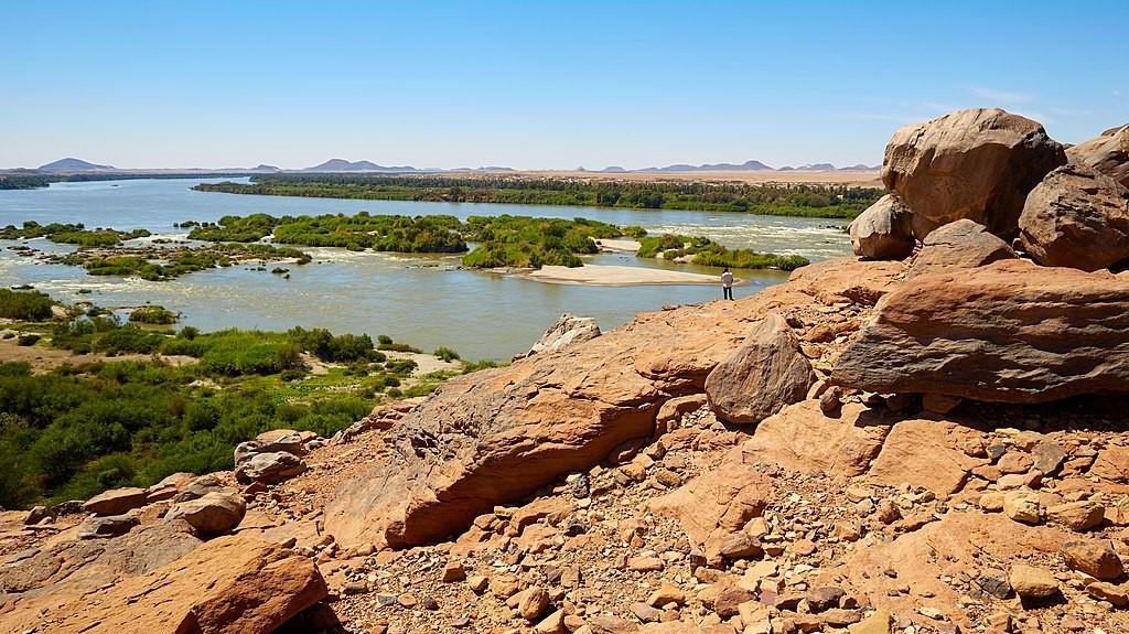
O’Malley, who conducted the research in Cambridge alongside Nicky White and Simon Stephenson, was able to infer landscape growth and erosion from the modern distribution of elevation along the beds of major rivers like the Niger, Nile and Congo.
The group focussed on Africa, Arabia, and Madagascar, where there is geologic evidence to test the calculated uplift histories, using computer simulations to unravel the formation and evolution of more than 4,000 river profiles.
According to O’Malley,“Inverse models, which make many simplifications by nature, have often been used to deduce the timing and spatial distribution of uplift. What was missing was a thorough test of the errors carried through when making these assumptions, which some people thought could affect the calculated timing of large-scale uplift events by millions of years.”
The team combined the inverse models with forward models, which include a variety of complicating factors, and found that the simplistic inverse models do in fact capture the most important processes. “Errors in the inferred timing of uplift from those models are therefore fairly low, at least for Africa,” said O’Mallley.
The team’s models included complexities like variable rainfall and drainage area, to test the effects of those processes on the rates and style of landscape evolution. The findings of their modelling fit observations, showing that uplift histories can effectively predict the drainage networks and topographical variations ultimately formed. These results are consistent even when rainfall rates vary across space and time, or if the flow directions of rivers change through time.
The study paves the way for further work using inverse and forward modelling of rivers and landscapes to study topography.
O'Malley, C. P. B., White, N. J., Stephenson, S. N., & Roberts, G. G. (2021). Large‐Scale Tectonic Forcing of the African Landscape.
